The productos showed in this page are generated by the Marine Enviroment team of the Vigo Oceanografic Centre and the Ocean Model team of the A Coruña Oceanografic center of Instituto Español de Oceanografía and supported by RAIA and RAIAco proyects.
Upwelling Index
Different data sources were used to calculate Upwelling Index time series.
| Model Series |
| Meteogalicia: Sea Level Pressure of the WRF atmosferic model. |
| FNMOC: Sea Level Pressure of WXMAP atmosferic model |
| Buoy Series |
| Puertos del Estado: Wind direction and speed. |
| Instituto Español de Oceanografía: Wind direction and speed. |
Regional Ocean Model System (ROMS) Outputs
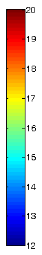
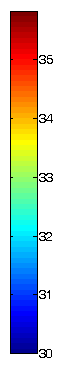
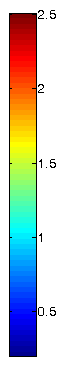
Temperature, salinity and currents layers showed in this viewer are daily average data of surface layer calculated with a Regional Ocean Model System.
Whole output model database can be downloaded using thredds server.
Model derived products
Using ROMS data the following derived products are generated :
- Thermal, haline and mix layer fornts
- Edies
- Shelfishing areas
- Beaches temperature
Fronts and eddies can be donwloaded in kml format click
here and shelfishing area data here.
How to Cite
An example of a cite of Rias Baixas Upwelling Index series calculated using Meteogalicia model data could be:
" Upwelling index time series was provided by the Instituto Español de Oceanografía (www.indicedeafloramiento.ieo.es) and was calculated using sea level pressure of the Meteogalicia WRF atmosferic model.
"
An example of a cite of ROMS data could be:
temperature data was obtained from a Instituto Español de Oceanografía ROMS (www.indicedeafloramiento.ieo.es).
We would also appreciate receiving a copy of the relevant publications. This will help IEO to justify keeping the service freely available online in the future. Thank you!
All the information showed in this page are free to use for education and scientific purposes. If you need the data for other purpose please put in contact with the administrator. |